

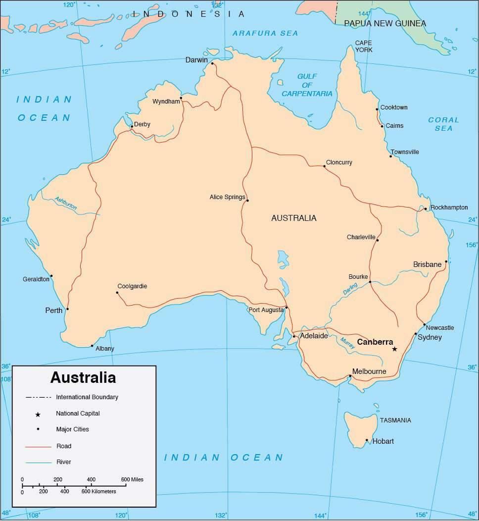
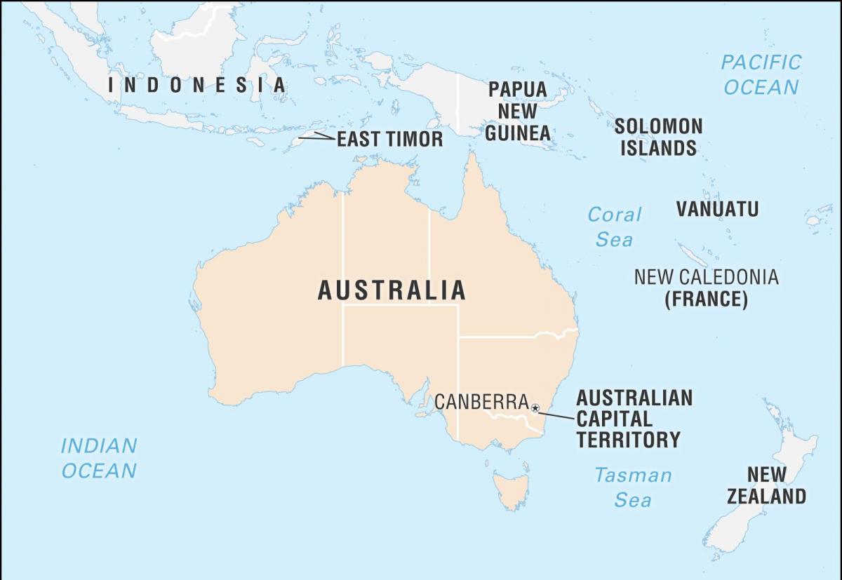
You can find on this page the Australia cities map to print and to download in PDF. The Australia map city presents main cities, towns and presents the capital of Australia in Oceania.

The map of Australia with cities shows all big and medium towns of Australia. This map of cities of Australia will allow you to easily find the city where you want to travel in Australia in Oceania. The Australia cities map is downloadable in PDF, printable and free.
Adelaide, the capital of South Australia, is a civilised and calm city, that is home to around one million people. It is divided into two parts, Adelaide and North Adelaide, separated by Torrens River as its mentioned in the map of Australia with cities. Brisbane, the capital of Queensland, is a cosmopolitan and lively city that is home to many different types of scenery, including skyscrapers, parkland and even an artificial beach. Brisbane is a river city, although close to the coast, with Brisbane River running through it. Hobart, the capital of Tasmania, holds two records. One as the Southernmost capital city in Australia and the other as the 2nd oldest capital city. Hobart offers both history in its Georgian buildings and harbour, and modern elements. It is surrounded by Derwent River and Mt. Wellington.
The city of Canberra, capital of Australian Capital Territory as you can see in the map of Australia with cities, was designed by American architect Walter Burley Griffin, with the land being bought in 1911, and the majority of the cities development occurring after World War II. The city hosts fabulous architecture and large green areas with around 12 million trees, well outnumbering its population of 308,086. Unlike the barren and dusty land of Northern Territory, Darwin is a modern and lively city. Darwin is a cosmopolitan city and the perfect place to relax before travelling on. The city was founded in 1869, and although development had previously been slow, it rapidly grew from 1871 on the discovery of gold at Pine Creek.
Melbourne was originally settled by graziers, John Batman being the first. He claimed land just north of Port Phillip Bay, whilst other graziers also decided to occupy areas near the Yarra River, but without the necessary permission to colonise. Perth City Centre is located alongside the peaceful waters of the Swan River, twenty Kilometres inland of the Indian Ocean on the West Coast of Australia as its shown in the map of Australia with cities. Sydney, the capital of New South Wales, Australia. It is Australia oldest and largest city with a population of around 4 million. Sydney is built around a huge harbour and hosts many tourist attractions as well as a number of beaches, bays and a couple of national parks.
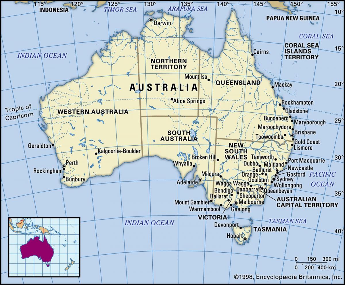
The map of Australia with major cities shows all biggest and main towns of Australia. This map of major cities of Australia will allow you to easily find the big city where you want to travel in Australia in Oceania. The Australia major cities map is downloadable in PDF, printable and free.
Over 66% of Australians live in the greater metropolitan area of Australia 8 capital cities as its mentioned in the map of Australia with major cities with Sydney being the largest (around 4.9 million), followed by Melbourne (4.5 million). Darwin is Australia smallest capital city, with a current population of around 144,000. All of Australia major cities fare well in global comparative livability surveys; Melbourne reached first place on The Economist 2011 World Most Livable Cities list, followed by Sydney, Perth, and Adelaide in sixth, eighth, and ninth place respectively.
Australia major cities include Sydney, Melbourne, Brisbane, Perth, Adelaide, Cairns, Darwin, and Canberra, the capital. The most populous city, and world renowned, in Australia is Sydney, which is the capital of New South Wales. Sydney covers an area of 4,775.2 square miles (12,367.7 square kilometers) as you can see in the map of Australia with major cities, and is home to nearly 5.07 million people, as of 2017. Sydney is also the Prime Minister and Governor General of Australia second official seat, and second official residence. Melbourne, the capital of Victoria, is the second most populous city in Australia, with a population of 4.67 million, as of (2016) with growth rate of 2.98%.
Brisbane is Queensland capital, and is the third most populous city in Australia with a population of 2.2 million people. Brisbane one of Australia major cities covers an area of 6,110.5 square miles (15,826 square kilometers) as its shown in the map of Australia with major cities. Perth is situated in Western Australia, and is the largest city and capital of the state. Perth has a population of 2.04 million people living in its metropolitan area, which covers 2,079 square miles (5,386 square kilometers). The fifth largest city in Australia is Adelaide, the South Australian capital. Adelaide population numbers about 1.34 million as of (2016) with growth rate of 1.82%, and it has an area of 705 square miles (1,827 square kilometers).
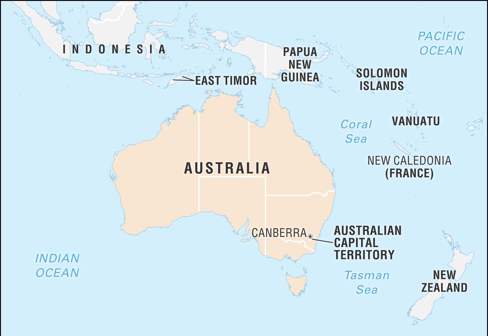
The capital of Australia map shows the main city of Australia. This capital map of Australia will allow you to easily plan your travel in the capital of the country Australia in Oceania. The capital of Australia map is downloadable in PDF, printable and free.
Canberra (play /ˈkænbᵊrə/ or /ˈkænbɛrə/) is the capital city of Australia. With a population of 358,000, it is Australia largest inland city and the eighth-largest city overall. The city is located at the northern end of the Australian Capital Territory (ACT), 280 km (170 mi) south-west of Sydney, and 660 km (410 mi) north-east of Melbourne as its menioned in the map of the capital of Australia. A resident of Canberra is known as a "Canberran". Canberra covers an area of 814.2 square kilometres (314.3 sq. mi) and is located near the Brindabella Ranges, approximately 150 kilometres (93 mi) inland from Australia east coast.
The site of Canberra was selected for the location of the nation capital in 1908 as a compromise between rivals Sydney and Melbourne, Australia two largest cities. The capital of Australia design was heavily influenced by the garden city movement and incorporates significant areas of natural vegetation that have earned Canberra the title of the "bush capital". As the seat of the government of Australia, Canberra is the site of Parliament House, the High Court and numerous government departments and agencies as its shown in the map of the capital of Australia. It is also the location of many social and cultural institutions of national significance.
The capital of Australia design was heavily influenced by the garden city movement and incorporates significant areas of natural vegetation that have earned Canberra the title of the "bush capital" (see the map of the Capital of Australia). The growth and development of Canberra were hindered by the World Wars and the Great Depression, which exacerbated a series of planning disputes and the ineffectiveness of a sequence of bodies that were to oversee the development of the city. The national capital emerged as a thriving city after World War II, as Prime Minister Robert Menzies championed its development and the National Capital Development Commission was formed with executive powers.